Trip Report
20160216
The photos below are
what we saw.
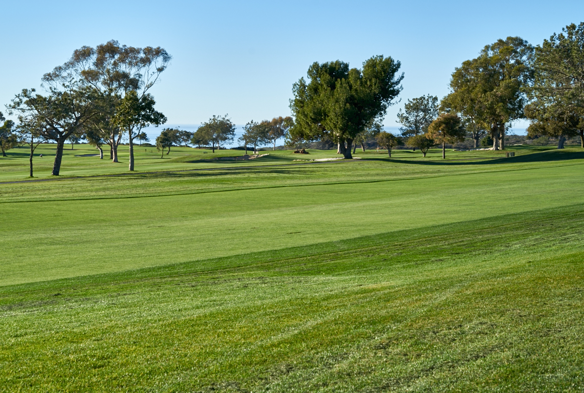
From our
parking area we had a nice view of part of the golf course.
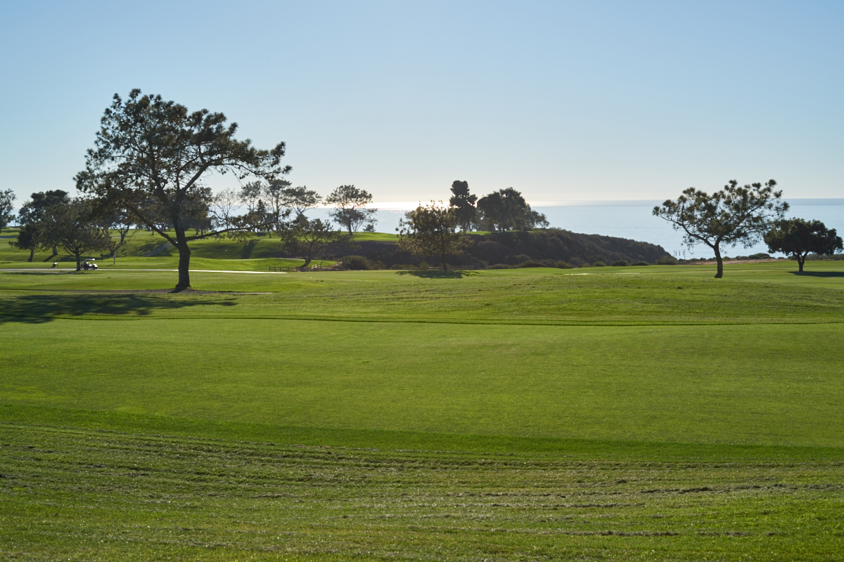
The
Pacific ocean is visible in the distance.
The
grounds were pristine and in perfect shape.

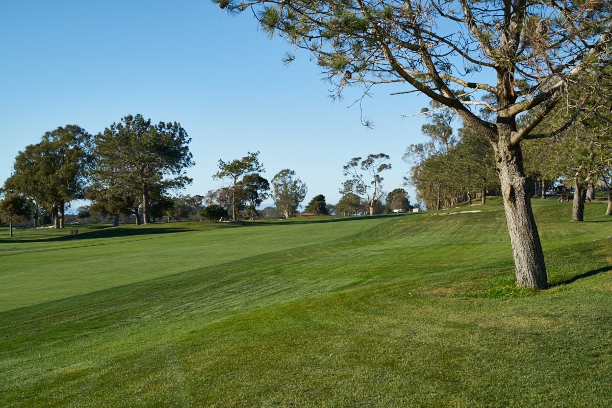
A recent
strong wind storm had damaged some protective netting by the
driving range. The netting was being repaired. The
wind had also blown over a number of trees at the course.
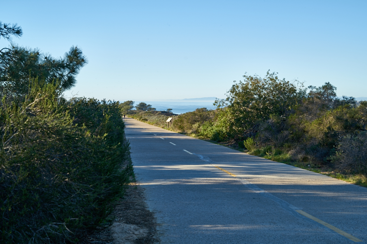
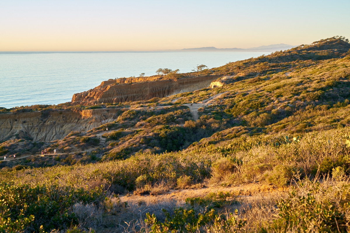
The "old
road" that ascended Torrey Pines ridge is now a pedestrian
walkway.
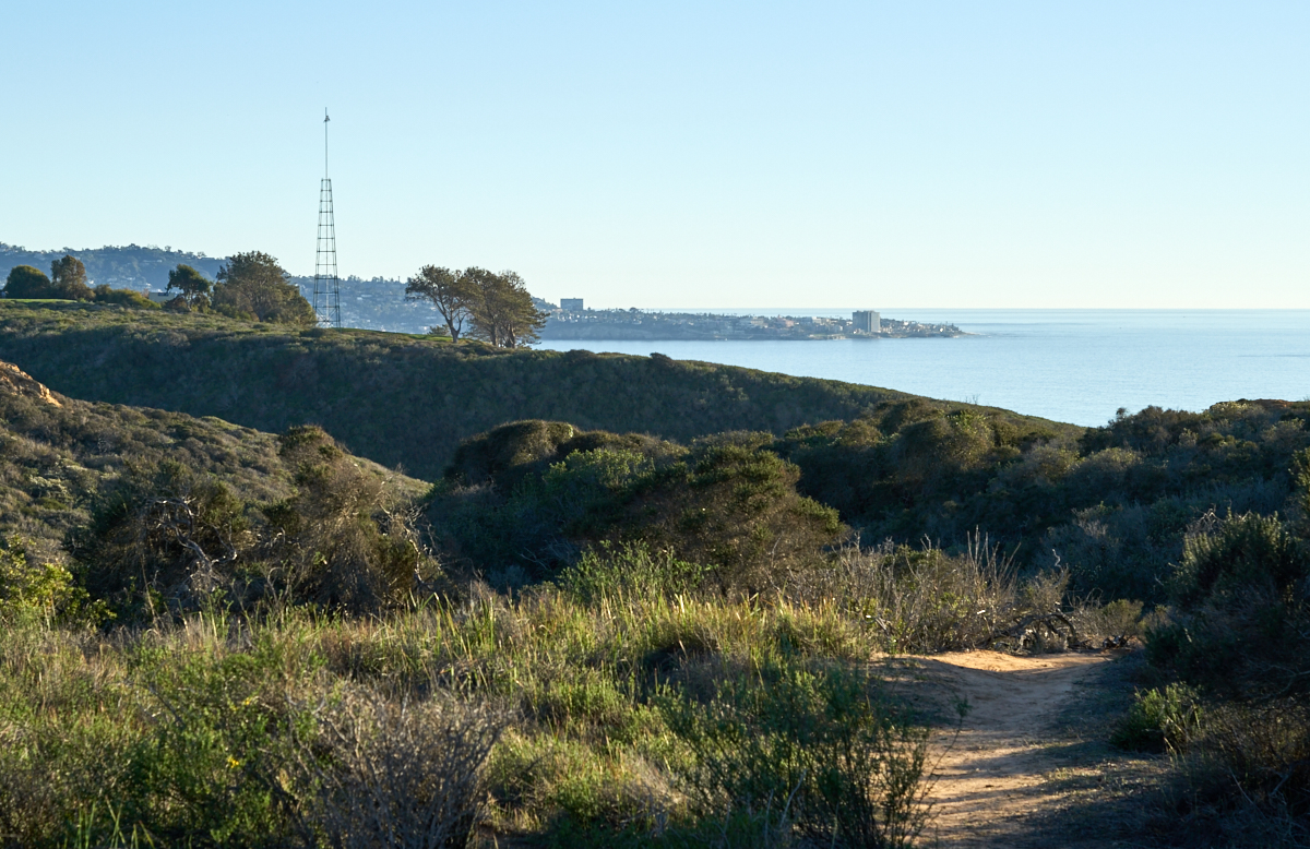
As we
wound our way toward the crest of the cliff we got views of
downtown La Jolla to our south. It was a remarkably clear
day with no breeze.
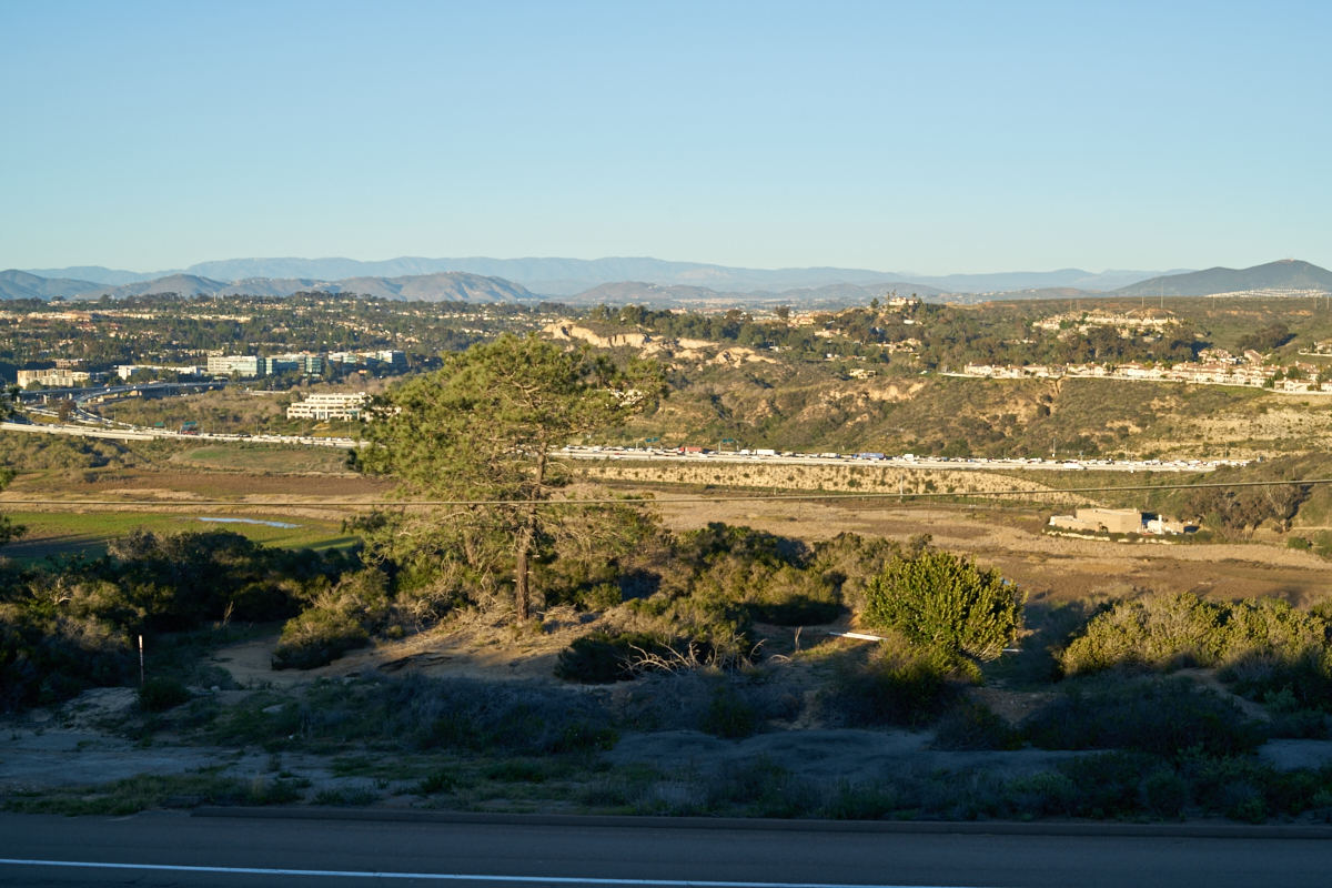
Above
the road cut on Torrey Pines Road we got a sweeping view of the
residential areas to the north east. SR-56 intersects I-5
at the far left edge of the photo above. Carmel Valley is
at the center and the heavily-trafficked I-5 is in the center of
the photo.
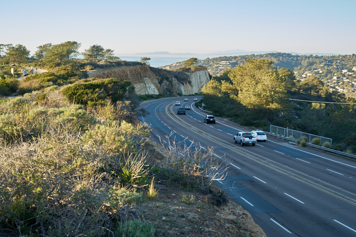
The road
cut that is part of Torrey Pines Road exposes colorful layers of
rock. The houses on the distant ridge are in Del Mar.
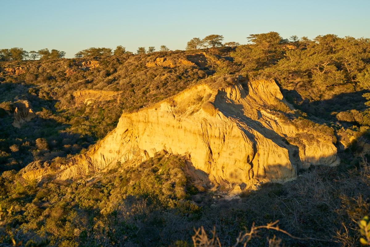
The
late-afternoon sun casts a yellow glow on the cliffs at Torrey
Pines.
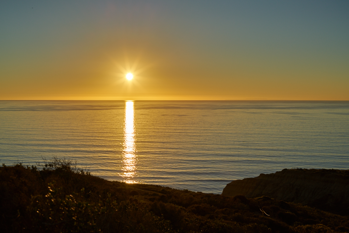
We were
in time for the sunset and the photo above shows the calmness of
the ocean surface.
A small amount of
smog was present on the horizon toward L.A. Note the
erosion patterns in the cliffs.
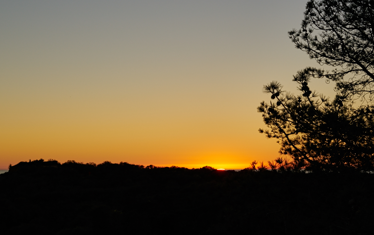
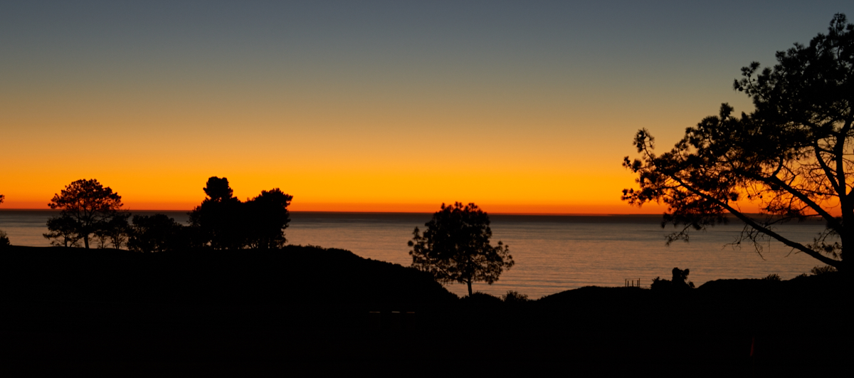
The lack
of clouds made for a sunset devoid of structure, but still
colorful.
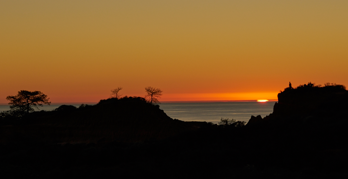
The
setting sun through a notch in the ridge. Note the person
standing on the ridge to the right of the sun.
We hiked
back to the parking lot at the golf course in the waning
light. Above is a 0.8 second exposure taken by bracing the
camera on a fence in the parking lot.
The Torrey
Pines area is one of the jewels in San Diego's crown. We
always bring visitors to the area, either on a hike or to the
glider port. It is wonderful to be so close to something
so beautiful. Thanks to Robin and Jerry for joining us on
this hike.
Copyright Bill Caid 2016. All rights reserved.